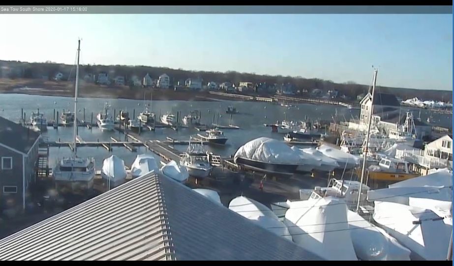


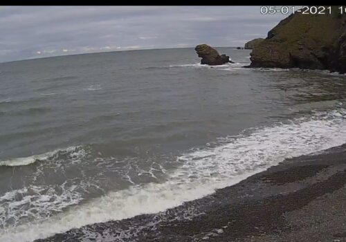

Sea Tow South Shore Live Cam, Marshfield, MA, USA
Sea Tow South Shore Live Cam, Marshfield, MA, USA. Marshfield is located on the South Shore, about where Cape Cod Bay meets Massachusetts Bay.
According to the United States Census Bureau, the town has a total area of 31.74 square miles (82.2 km²), of which 28.46 square miles (73.7 km²) is land and 3.28 square miles (8.5 km²) (10.33%) is water. Marshfield is bordered by Massachusetts Bay to the east, Duxbury to the south and southeast, Pembroke to the west, Norwell to the northwest, and Scituate to the north and northeast. Marshfield is 18 miles (29 km) east of Brockton and 29 miles (47 km) southeast of Boston.
Marshfield is named for the many salt marshes which border the salt and brackish borders of the town. There are three rivers: the North (along the northern border of the town), South (which branches at the mouth of the North River and heads south through the town) and the Green Harbor River (which flows just west of Brant Rock and Green Harbor Point at the south of town).
